Weybridge to Cranleigh
via
Byfleet, Wisley, Ockham & Shere.
|
Weybridge to Byfleet
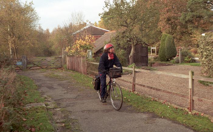
From Weybridge Station
cross the railway bridge and turn right through the car park.
Follow the path immediately alongside the railway, to Lonsdale
Road. Turn left into Campbell Road, then again onto Locke King
road. Turn right and follow the busy Brooklands Road for 500
metres, then at a large roundabout turn right onto Wellington way.
Continue straight across the next roundabout, passing round the
sacurity barrier if closed. After a second barrier (at the next
roundabout), turn left into Sopwith Way, then after 300 metres,
right into Barnes Wallis Drive. After passing through a gap in
the old Brooklands racetrack banking, turn left into Oyster Lane(3km,
1.9m). Cross Parvis Road at a large busy roundabout, into High
Road (Byfleet).
Byfleet to West
Horsley
When High Road turns to
the left towards Byfleet's main shopping parade, continue
straight on into Brewery Lane, then into Church Road. After the
church, turn left into Sanway Road, which ends in a bridleway
running under the moterway by a stream. Follow the bridleway for
a further 400 metres, to join Wisley Lane (7km, 4.8m), where
this route joins with route 10.
Turn left through Wisley
village and past the Royal Horticultural Society gardens. A
footbridge provides a safe route across the main A3 Portsmouth
Road. After leaving the bridge turn right into down a lane, then
follow the bridle path across the disused Wisley airfield. This
leads down a bridleway (very muddy in winter) to Ockham village (8.2km,
5.1m).
Turn right into Ockham
Lane, left at the Hautboy Hotel, then right into Ockham Road
North. After 200 metres, fork right into Long Reach, which
eventually joins The Street to to take you to West Horsley
village (13.2km, 8.3m).
West Horsley to Shere
Cross Epsom Road at a mini
roundabout and follow Shere Road up the hill to the top of the
North Downs ridge. This involves a lot of climbing, so be
prepared for a long, slow ascent unless you are very fit! At the
summit, this road joins Green Lane where you turn right, then
left into Staple Lane, which becomes Combe Lane as it descends
the steep south face of the ridge. The pleasure of the descent
makes up for the struggle on the way up! Cross the busy A25 road
into Rectory Lane, left into Upper Street and right into Middle
Street. You are now in the centre of Shere (19.4km, 12.1m). If
you arrive at the right time, you will find the road blocked by
the local Morris dancing team.
Shere to Cranleigh
Continue up Shere lane and
Sandy Lane, and immediately after the crossing the railway bridge,
turn left into Hook Lane. Turn right eat the next crossroads into
Lawbrook Lane, which you follow until you rejoin the Shere -
Ewhurst road. about 600 metres down the hill, turn right before
the Windmill Inn into a surfaced bridleway. Follow this for 600
metres, and when it joins Horsedock Hollow, turn left down the
hill. On the outskirts of Cranleigh, turn right into Ewhurst Road,
then turn right when you reach the High Street (20.5km, 12.8m).
'Downs Link' Path
 |
From
Cranleigh, the Downs Link path follows the route of the
disused Guildford to Christs Hospital (Horsham) railway.
Baynards station is now a private house, but apart from
the rails is maintained almost as it was when the trains
ran, including luggage trolleys on the platform! |
If you want to join the
Downs Link path, turn left into the road signposted 'Leisure
Centre'. Pass to the right of the main building, and you are on
Downs Link, the route of the disused Guildford - Horsham railway.
Turn right for Guildford (km, m), or left for Christs Hospital (Horsham)
(km, m) and Brighton (km, m).
Diagram of the Route
Last
updated 21/05/00